Why Choose Barr GeoSpatial Solutions

-

Experience
BGS has acquired over 1.8M square miles and hundreds of thousands of linear miles of LiDAR in North America since 2004 and performs aerial surveillance on over 2.2M miles of right-of-way annually.
-
Capacity
BGS has over 50 aircraft and over 25 LiDAR and imagery sensors.
-
Processing
BGS processes and delivers many large area projects annually, averaging delivery of over 100,000mi² in each calendar year since inception.
-
Technology
We constantly stay on top of the technology curve by updating hardware and software, in the field and in the office, on an annual basis.
-
Safety
Barr Air Patrol has the industry leading safety program including a fully functioning Safety Management System (SMS) and is registered with ISNetworld.
Services
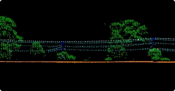
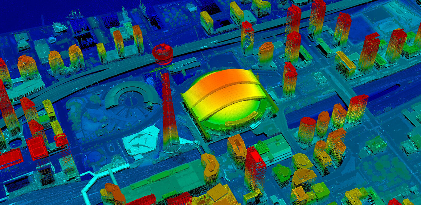
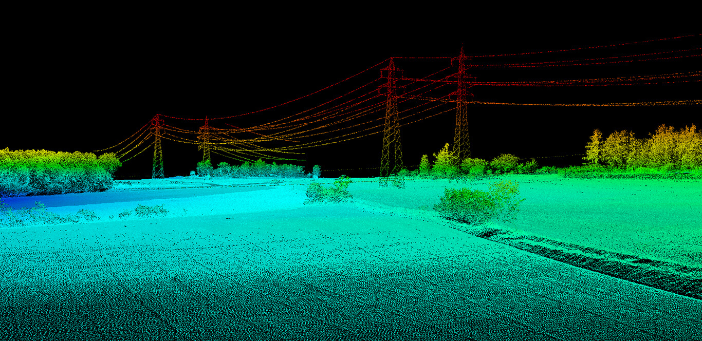
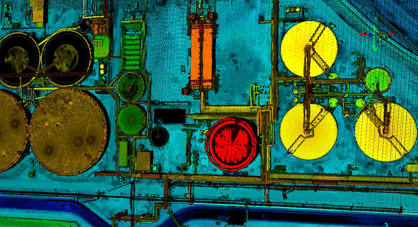
LiDAR
BGS has decades of experience providing high-density LiDAR mapping both independently or in conjunction with aerial imagery. All collection is performed on airborne platforms.
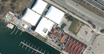
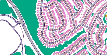
High-Resolution Imagery
BGS provides imagery capture services nationwide in a number of ways. We collect wide areas using large format 4 band cameras, or we can collect smaller sites either with or without co-collection of LiDAR.
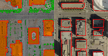
Data Processing
Collection of high density, high quality LiDAR and imagery is only the beginning. Barr can produce all high quality, highly accurate deliverables needed for your project.
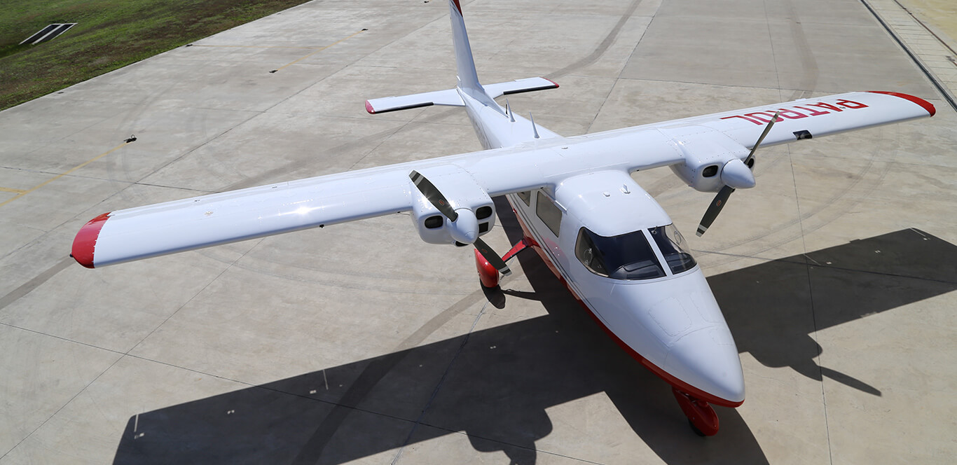
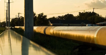
Pipeline Patrol
Barr is the leading pipeline patrol company in the United States, conducting over 2.2M miles of Department of Transportation (DOT) mandated patrols onshore and offshore for over 70 customers.
Talon 360Patrol Cameras
Barr’s proprietary Talon 360patrol cameras enable customers to capture imagery of every moment of a standard visual patrol.
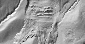
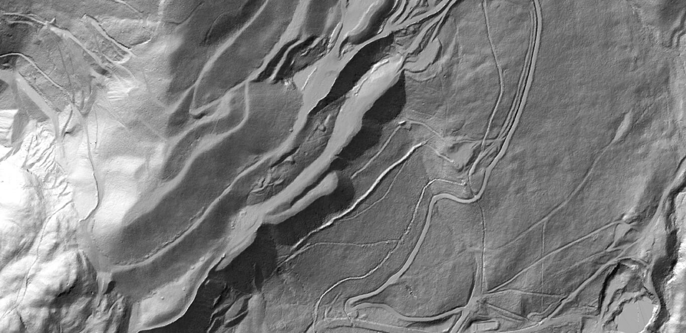
Geo-hazard Monitoring
Barr GeoSpatial’s comprehensive Geo-Hazard monitoring program helps asset owners identify geo-logical hazards including landslides and erosion.
HCA & Class Location
Barr GeoSpatial has a comprehensive class location, HCA and MCA program using high resolution imagery coupled with oblique imagery, LiDAR and visual inspections.
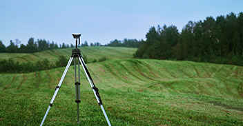
Ground Survey Control
BGS performs tens of thousands of square miles of LiDAR collection annually nationwide. Our experienced surveyors establish ground control networks and survey for calibration.
Methane Leak Detection
Our cutting edge sensors allow for quantification of methane leak rate and coupled with simultaneous collection of imagery pinpoint the location within your facility, pipeline corridor or gathering system where the leak is emanating from.
Excellence Tends To Be Noticed

