Data Processing
Collection of high density, high quality LiDAR and imagery is only the beginning. BGS utilizes these incredibly rich data sets to extract derivative products that can be used to help our clients achieve the maximum benefit of the data sets they ask us to collect. We work with the latest hardware and software to create end products from raw LiDAR data and high-resolution optical imagery that can go into clients’ GIS platforms and software, seamlessly.
What we offer:
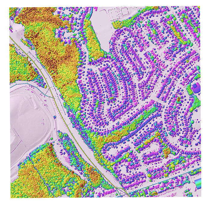
- 3-D point clouds
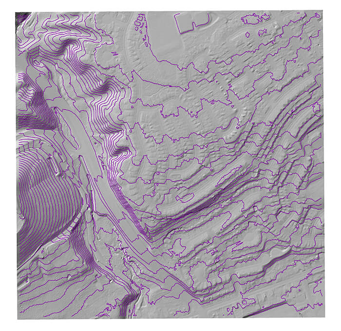
- Terrain Modeling (DTM,DSM, contours)
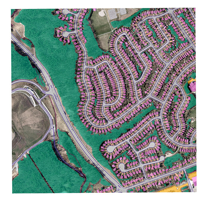
- Planimetric Feature Extractions
- Elevation-derived Hydrography
- Building Classification and Delineation
- Vegetation Classification
- Utility Corridor Classifications
- Geo-hazard Analysis
- Class location, HCA and MCA Analysis


