Ground Survey Control
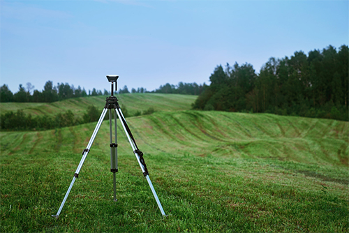
BGS performs tens of thousands of square miles of LiDAR collection annually nationwide. Our experienced surveyors establish ground control networks and survey in calibration and check point surveys on the vast majority of those projects. We use top end GNSS GPS receivers and when required total station surveys in heavily vegetated areas. In addition, we work with clients that supply their own survey and we provide the LiDAR or imagery collection in teaming arrangements.
What we offer:
- GNSS GPS survey equipment for control network establishment
- Check point and calibration surveys
- Target layout and survey
- Total station survey for VVA check points

