High-Resolution Imagery
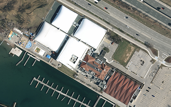
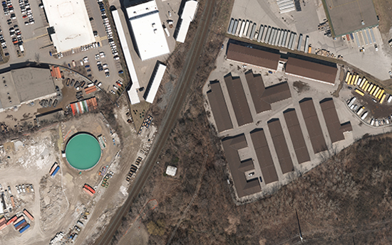
BGS provides imagery capture services across North America in a number of ways. We collect wide areas using large format 4 band cameras, or we can collect smaller areas either with or without co-collection of LiDAR, for smaller sites and pipeline and utility corridors. All collection is performed on airborne fixed wing platforms.
What we offer:
- Ortho photography
- Stereo pairs
- Digital mapping (planimetric and topographic)
- Updated base maps that can be overlaid in google earth/GIS platforms
- Class location/change detection
- 3-D models for disaster/emergency response, site preparation or remediation or 3-D view of assets


