LiDAR Collection
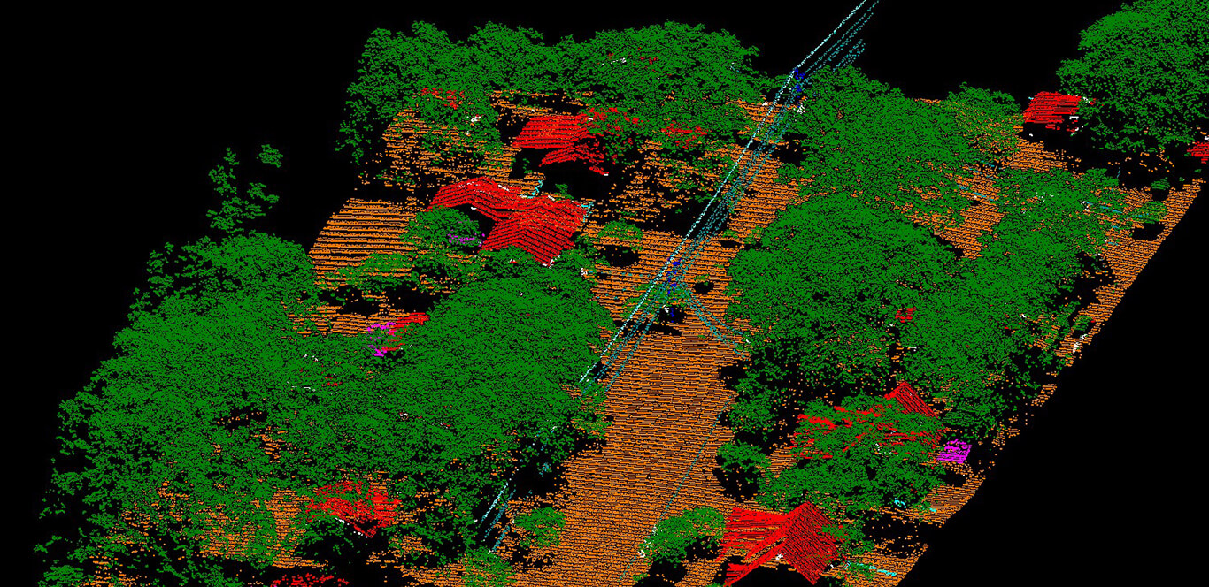
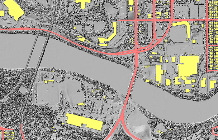
BGS has decades of experience providing high-density LiDAR mapping both independently or in conjunction with aerial imagery. All collection is performed on airborne platforms.
BGS recognizes the importance of using the best LiDAR technology and maintaining and upgrading the fleet on a regular basis. High productivity, high point density, and reliable operations are why BGS owns 9 Riegl LiDAR sensors and 2 Leica LiDAR sensors. The versatile Riegl LiDAR scanners accommodate different density needs in various types of terrain and both Riegl and Leica sensors have cameras integrated with the sensors for co-collection.
What we offer:
- LiDAR data collection including sensors and aircraft
- Ground control for calibration and QA/QC
- LiDAR processing for various vertical markets
- Largest privately owned, on-demand LiDAR data library in North America


