Engineering
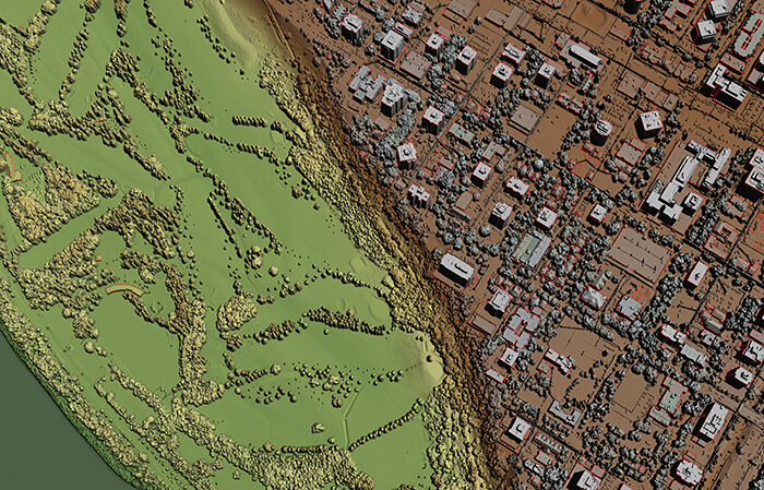
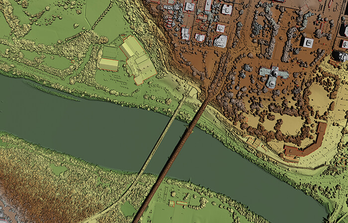
Experience the highest level of precision and accuracy in your projects with BGS's LiDAR services. We deliver the point density, pulse spacing, and vertical accuracy required for any application, including civil engineering, heavy construction, urban planning, transportation, etc.
Our expertise and equipment allow us to deliver LiDAR Quality Level (QL0) and higher, ensuring unparalleled results when accuracy matters. Plus, with simultaneous collection of aerial imagery, we provide a complete picture of the area, facilitating planning and seamless communication with stakeholders. BGS can also provide detailed planimetric or vector feature mapping to support digital twins of all your needs.


