Utilities
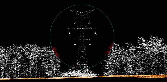
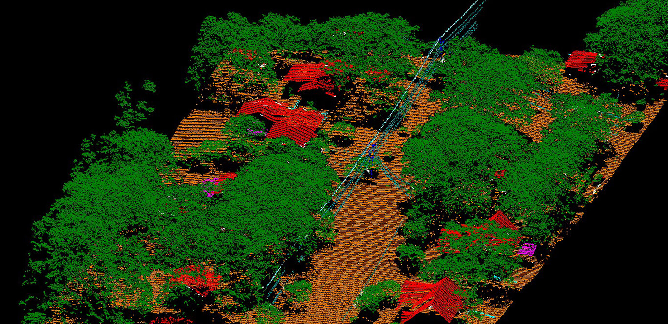
High-accuracy, high-density aerial LiDAR data provides a wealth of information used to reduce risks, identify problems, and properly maintain and manage electric transmission and distribution utility assets. Utilities benefit from fast and cost-effective collection of high-density data to produce up-to-date information about ROW encroachments including vegetation and line sag that could potentially cause outages or safety concerns. The data also allows for general asset mapping of the utility’s facilities, towers and poles and load bearing analysis.
In addition, planning for new TL routes, and new hydroelectric sites can be performed in the office, using the rich data set collected from LiDAR and/or LiDAR/imagery collection.
What we offer:
- Powerline vegetation management
- ROW encroachment monitoring
- Mapping existing transmission infrastructure
- Distribution asset management
- Geo-Hazard Mapping along TL corridors
- Erosion monitoring
- New TL route or hydroelectric site planning
- Load bearing analysis


