Geo-hazard Monitoring
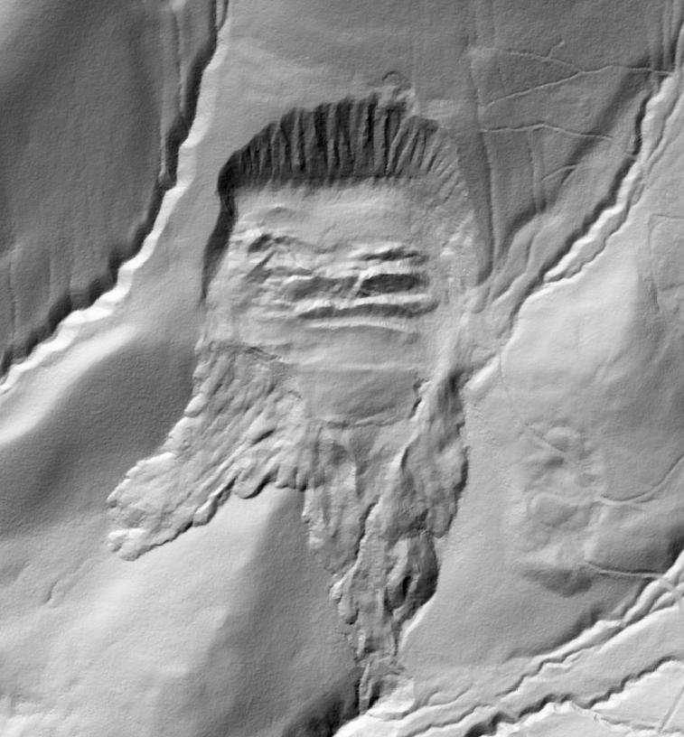
Barr GeoSpatial’s comprehensive Geo-Hazard monitoring program helps operators identify geo-logical hazards, erosion and other land movement along the right of way. Land movement is one of the leading causes of pipeline ruptures and operators are using LiDAR to help identify changes and predict areas prone to movement.
Barr GeoSpatial collects dense LiDAR data during leaf off, no snow conditions and processes and classifies the data into deliverables including digital elevation models and hillshades that allow for identification of land movement and comparison to prior data. Predictive analytics combined with a geologist reviewing the data provides customers with an excellent understanding of areas prone to movement.
Combining LiDAR data with Barr GeoSpatial’s weekly DOT mandated patrols equipped with Talon360 imagery allows operators to monitor areas of concern on a weekly basis with both human eyes, imagery and artificial intelligence looking for any real time changes.
Contact us to learn more about our comprehensive geo-hazard monitoring program.

