Pipeline Patrol
Barr is the leading pipeline patrol company in the United States, conducting Department of Transportation (DOT) mandated patrols onshore and offshore for over 70 customers. Barr flies over 2.2 million miles and over 20,000 hours of right-of-way patrol annually protecting the nation’s critical infrastructure.
Barr’s highly trained pilots and observers conduct safe, high quality patrols and communicate threats, encroachments and leaks in real time to field crews on the ground.


Talon360 Imagery
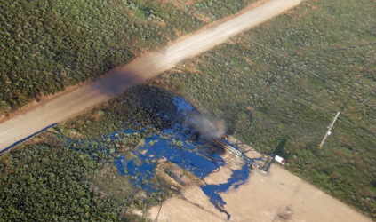
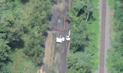
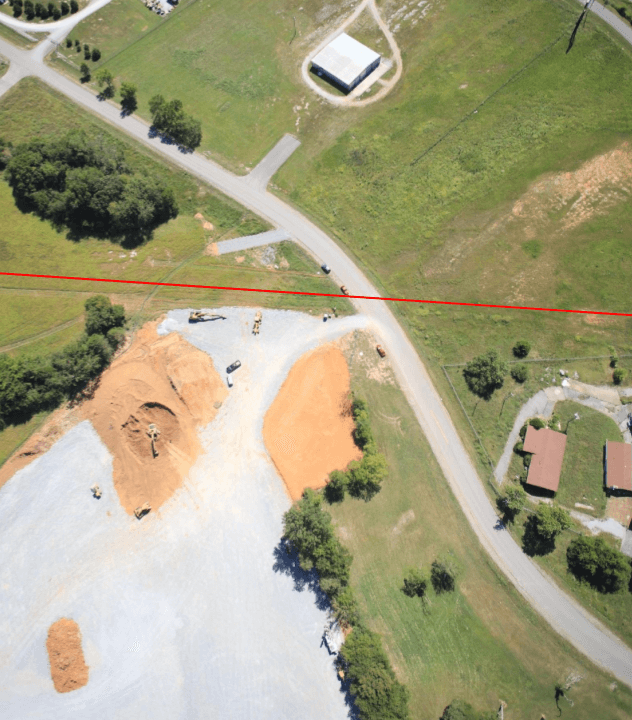
Barr’s proprietary Talon360 patrol cameras enable customers to capture imagery of every moment of a standard visual patrol. Barr delivers enhanced intelligence to pipeline customers as a supplement to standard visual patrol services. This can be especially valuable for many use cases including: regulatory compliance/proof of patrol, vegetation encroachment, geo-hazard monitoring, structure identification, construction monitoring and asset inventory.
The Talon360 camera system is mounted in an FAA-approved, roll-stabilized pod that automatically tracks the right-of-way centerline while crews conduct standard DOT mandated patrols. The system fires continuously, capturing oblique digital imagery that is fully integrated with ESRI’s oriented imagery catalog (OIC) allowing operators to overlay their pipeline attributes and GIS layers.
Barr is also training deep learning algorithms to perform artificial intelligence (AI) on the imagery to detect changes along the right of way.
Talon360 Patrol App
Barr’s Talon360 patrol app is fully integrated with ESRI and allows the pilot and observer to communicate the exact location, type of encroachment and other relevant data to field crews and managers in real time in a simple easy to use app. An ESRI base map continuously updates as the patrol is being conducted. Field crews can utilize the app to locate encroachments and share imagery collected in the field with their managers. Managers can easily create heat maps and sort the data by encroachment type, date and other parameters. Coupled with Talon360 imagery, operators have unparalleled intelligence of the pipeline environment.
Talon360 imagery and the Talon360 patrol app coupled with LiDAR and Nadir Imagery can help identify areas of concern for geo-hazard and erosion as well as help identify structure use for High Consequence Area/MCA and Class location work.

